How to track your metropolitan train or bus service live on a map
In the PTV app you can see the real time location of your metropolitan train or bus on a map.
View the vehicle by tapping on one of your already saved Favourites or using the 'Search' function in the main navigation.
If you’re using Favourites, tap on your favourite train station, bus stop or line/route.
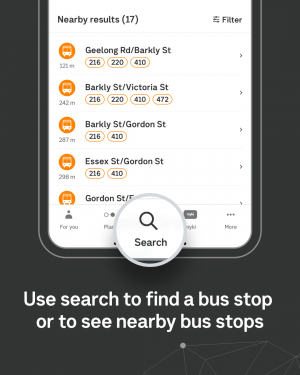
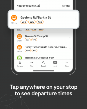
If you're using 'Search,' type in the name of the station or stop. The map will show you your nearby stops and they will be listed in the white panel below the map under 'Nearby results'.
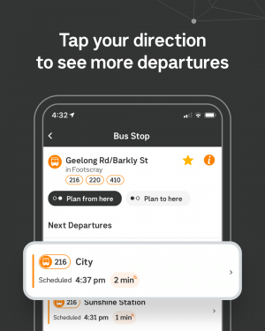
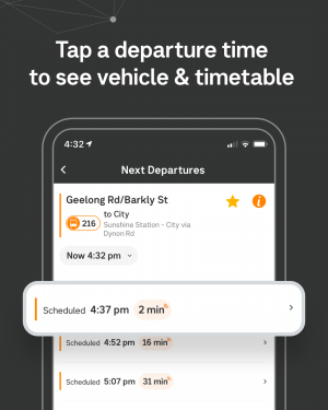
Tap on the stop, select the route from 'Next Departures', and choose the service you want.
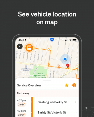
The metropolitan train will appear as a blue dot and the bus will appear as an orange bus icon as they move on the map. The location of the train and bus is updated every 20 seconds.
You can also save this stop as a Favourite by tapping the star icon in the top right hand corner. This will allow you to quickly access the next departures from that stop at any time, from the For you Favourites screen.
Track your service via Favourites


Track your service via Search